4 maggio 2021 ore 16:30
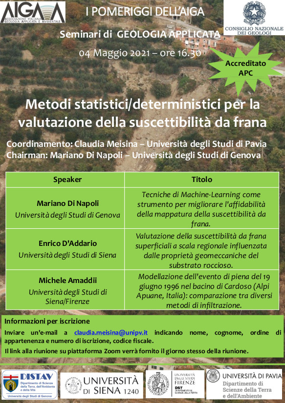
Metodi statistici/deterministici per la valutazione della suscettibilità da frana
Chairperson: Mariano di Napoli, Università di Genova
Il video dell’evento e le presentazioni sono disponibili per i soci AIGA nell’area riservata di questa sezione.
|